Geolocated sound recently pinged onto our radar as an interesting new way to explore oral histories on location, in the places that produced the stories. Part of the sound archivist’s role is to make sure the public can access the audio collection, but it’s also important to get their attention in the first place! So Archives+ created several themed sonic maps using oral history recordings. Geolocated sound comes with unique archiving challenges, so they collaborated with Manchester Centre for Public Histories + Heritage to work out how best to archive these audio maps.
Using sonic maps to create oral history trails
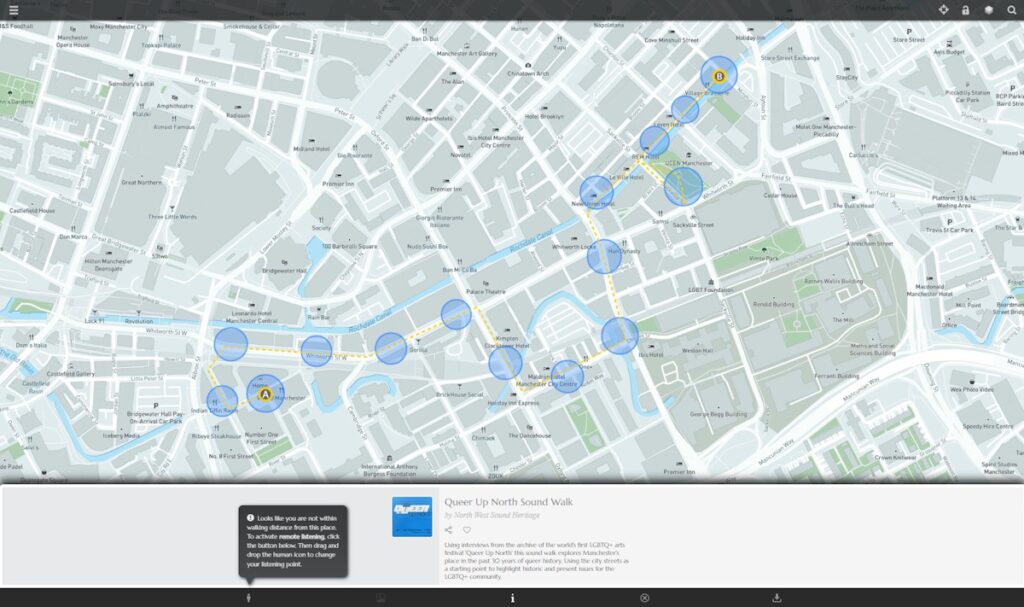
Geolocated sound is increasingly used to communicate the histories of landscapes, and ManMet’s heritage team already uses it as a research tool. If you’ve ever used satnav, the technology behind it should be familiar. Digital audio files are attached to GPS locations and shared online, so that listeners can activate sounds by moving into them. With satnav, these sounds give directions to help navigation. In sonic maps, the audio can be anything we’ve chosen as designers. The Archives+ maps feature people speaking about their memories of particular places. You can explore them in two ways: on location, in the actual places that people are talking about, or remotely, by activating the sounds in a digital map. You can find all the Archives+ audio maps on this page <https://northwestsoundheritage.org/sound-walks/>.
Learning how to archive geolocated sound
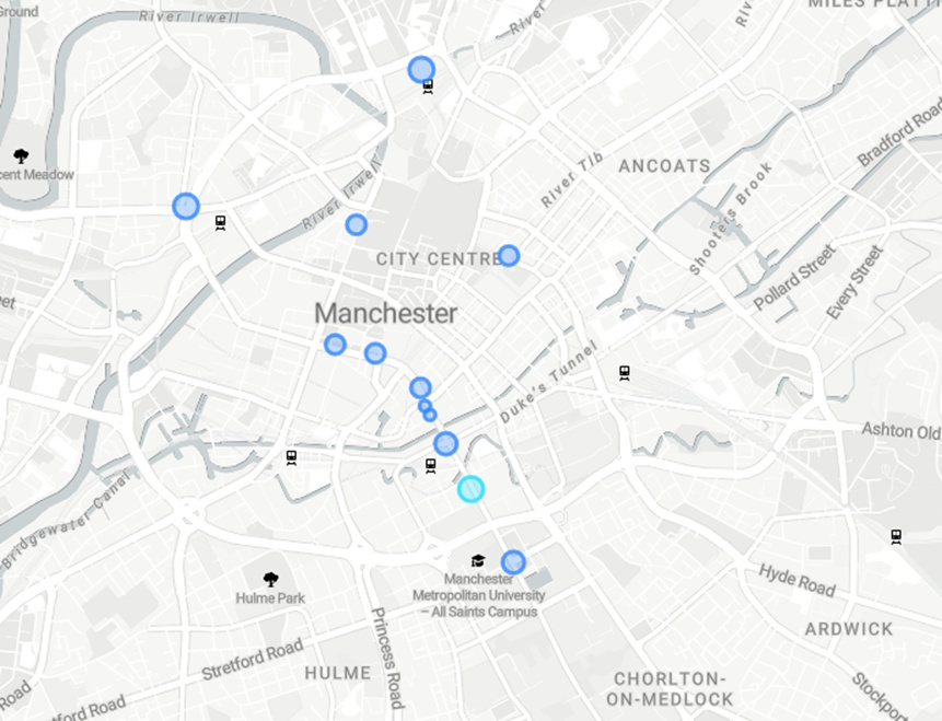
The technology for creating sonic maps is fairly new, so we experimented with different platforms to learn which works best. We had to transfer some maps from one platform which didn’t work so well, to a new one that worked better. This was a good opportunity to document the archiving process while a map was dismantled and reassembled. This wasn’t simple, mainly because the technology is so new. Once a particular media technology has been around for a while, people tend to agree on formats that work in the same way whichever tool they use. For example, you can download an MP3 and hear it in any software that plays MP3s. Nobody’s done that yet for sonic maps. There’s no way to download a whole sonic map as a single file from one geolocated sound platform, in order to easily upload it into another. Instead, you must transfer each of the map’s individual components separately. When we moved the map pictured above, that only involved moving 12 individual sound areas. This is a simple map, but they can be a lot more complicated. The one pictured below has dozens of sound areas and multiple layers. Moving this one could take a while!
![The “William Royle of Rusholme” sonic map in Platt Fields, Manchester, was made by Suzie Cloves for her Public History & Heritage MA at ManMet university (Image: Suzie Cloves / RecursiveArts, 2022)]](https://ohs.org.uk/wp-content/uploads/2025/06/WilliamRoyle_sonicmap.jpg)
We needed a good way to describe the structure of each map without depending on a specific piece of software. In digital heritage, we try to guard against the chance that particular software will become unavailable, but this comes with its own challenges. Each software platform offers different features. What is possible in one may be impossible in another. The platform may only support a simple design (such as a string of circles along a single route) or it may let us add complex overlapping layers of audio across a broad area. Some software — but not all — lets us do fancy stuff like activating sounds in logical sequences. This means there’s no way to be sure that a map designed for one platform could be copied exactly into another. Our solution was to describe every feature in the original map, so future archivists could understand the original design. Hopefully this will let someone recreate the maps accurately, assuming they have the tool to do it. But we also had to accept that at some point in the future, it may be impossible to recreate the original design accurately, if the technology has changed.
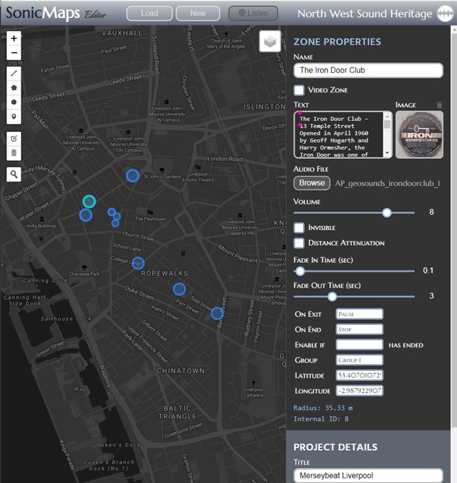
Another challenge was how to describe where the sound areas should be. We could use a visual illustration, but it’d be difficult to manually copy this accurately into any software. So we converted the shapes into strings of geographic coordinates. For circles, this means giving a latitude and longitude for the centre point, and a radius in metres. For other shapes, we give a lat/long for every corner in the shape (see the picture below). This creates an intimidating string of coordinates for each shape, but these can be added into mapping software to accurately recreate geographic layouts.
What to call a place?
For every audio shape in a sonic map, we must track various assets such as a sound file, written description, image, and geographic data. To help do this, we needed to identify each place, but placenames can change over time. For instance, many of the venues in the Archives+ Merseybeat soundwalk shut down years ago, as have the cinemas in their Manchester & Salford cinema tour. So we made sure that the identifier given to each location was likely to stick around. We could use map coordinates, but those strings of numbers are difficult to understand without dropping them into a map. When we imagined someone in the future trying to read our documentation, we decided it’d be easier to understand place-names. Sometimes, even in an archive, usability is more valuable than longevity! We decided to use street-names and building numbers, instead of pub or shop names that are more likely to change, but even street-names can change as towns are remodelled, so we had to accept that our method wasn’t entirely futureproof.
Our method is still a work in progress, and probably (hopefully!) always will be, but the last few years of experimenting with geolocated sound technology have given us valuable insights. We’ve used them to produce a toolkit for archiving geolocated sound projects, which is freely available here. If you have any trouble accessing it please email Suzie [suzie dot cloves at gmail dot com] and she’ll send you the files.